Building retirement homes on the Becket School site
Introduction
The photograph on this page of Building retirement homes on the Becket School site by John Sutton as part of the Geograph project.
The Geograph project started in 2005 with the aim of publishing, organising and preserving representative images for every square kilometre of Great Britain, Ireland and the Isle of Man.

There are currently over 7.5m images from over 14,400 individuals and you can help contribute to the project by visiting https://www.geograph.org.uk
Building retirement homes on the Becket School site
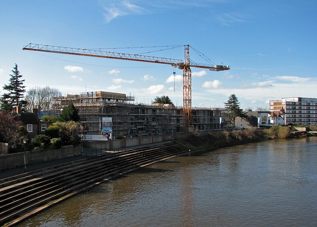
Image: © John Sutton Taken: 10 Apr 2016
Road access will be from Wilford Lane. The picture was taken from Wilford Suspension Bridge on a bright Sunday morning in early spring.
Images are licensed for reuse under creativecommons.org/licenses/by-sa/2.0
Image Location
Latitude
52.932235
Longitude
-1.139458