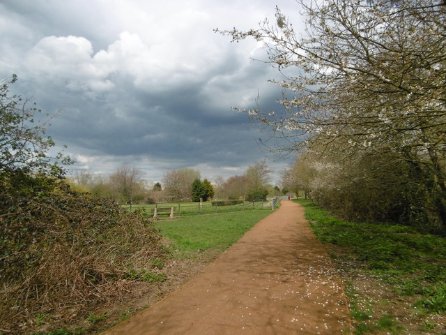
Roxbourne Park
Introduction
The photograph on this page of Roxbourne Park by Marathon as part of the Geograph project.
The Geograph project started in 2005 with the aim of publishing, organising and preserving representative images for every square kilometre of Great Britain, Ireland and the Isle of Man.
There are currently over 7.5m images from over 14,400 individuals and you can help contribute to the project by visiting https://www.geograph.org.uk

Image: © Marathon Taken: 13 Apr 2016
Roxbourne Park is located either side of The Roxbourne river. The Roxbourne is also known as the western arm of the Yeading Brook. It rises near North Harrow and converges with the Yeading Brook in Ruislip on the southern side of Western Avenue. This in turn flows into the River Crane which reaches the Thames at Isleworth. See http://www.londonslostrivers.com/yeading-brook.html for more information and photographs of the Roxbourne. The other notable feature of Roxbourne Park is the miniature railway which has been here since 1976. See http://www.hwsme.org/ for details of the railway and https://www.youtube.com/watch?v=XpEX4E5GMPk for videos of the trains in action. In this view, not far from the entrance to the park from Field End Road, The Roxbourne is just to the right while the miniature railway is ahead to the left of the path. A closer view of the railway from by the seat is at http://www.geograph.org.uk/photo/4907355

