View from the entrance to Newton Park (West)
Introduction
The photograph on this page of View from the entrance to Newton Park (West) by Marathon as part of the Geograph project.
The Geograph project started in 2005 with the aim of publishing, organising and preserving representative images for every square kilometre of Great Britain, Ireland and the Isle of Man.

There are currently over 7.5m images from over 14,400 individuals and you can help contribute to the project by visiting https://www.geograph.org.uk
View from the entrance to Newton Park (West)
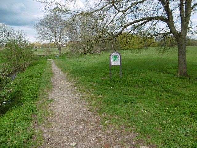
Image: © Marathon Taken: 13 Apr 2016
Newton Park (West) consists of open space either side of The Roxbourne river which was left when the adjacent post-war council housing was built. The Roxbourne, which is its main feature, is also known as the eastern arm of the Yeading Brook. It rises near North Harrow and converges with the Yeading Brook in Ruislip on the southern side of Western Avenue. This in turn flows into the River Crane which reaches the Thames at Isleworth. See http://www.londonslostrivers.com/yeading-brook.html for more information and photographs of The Roxbourne. In this view from the entrance in Malvern Avenue, The Roxbourne is on the left. The view in the other direction to the park entrance with the Parish Church of St Andrew Roxbourne opposite can be seen at http://www.geograph.org.uk/photo/4907411
Images are licensed for reuse under creativecommons.org/licenses/by-sa/2.0
Image Location
Latitude
51.566187
Longitude
-0.37354