Pentre (Forestry Commission land)
Introduction
The photograph on this page of Pentre (Forestry Commission land) by Nick Mutton 01329 000000 as part of the Geograph project.
The Geograph project started in 2005 with the aim of publishing, organising and preserving representative images for every square kilometre of Great Britain, Ireland and the Isle of Man.

There are currently over 7.5m images from over 14,400 individuals and you can help contribute to the project by visiting https://www.geograph.org.uk
Pentre (Forestry Commission land)
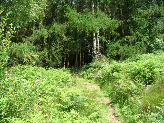
Image: © Nick Mutton 01329 000000 Taken: 8 Jul 2007
Looking up from behind Hoddinott Houses to Forestry Commission land at the side of Mynydd yr Eglwys (Church Mountain in English)
Images are licensed for reuse under creativecommons.org/licenses/by-sa/2.0
Image Location
Latitude
51.65496
Longitude
-3.488735