The slopes of Eastwater
Introduction
The photograph on this page of The slopes of Eastwater by Neil Owen as part of the Geograph project.
The Geograph project started in 2005 with the aim of publishing, organising and preserving representative images for every square kilometre of Great Britain, Ireland and the Isle of Man.

There are currently over 7.5m images from over 14,400 individuals and you can help contribute to the project by visiting https://www.geograph.org.uk
The slopes of Eastwater
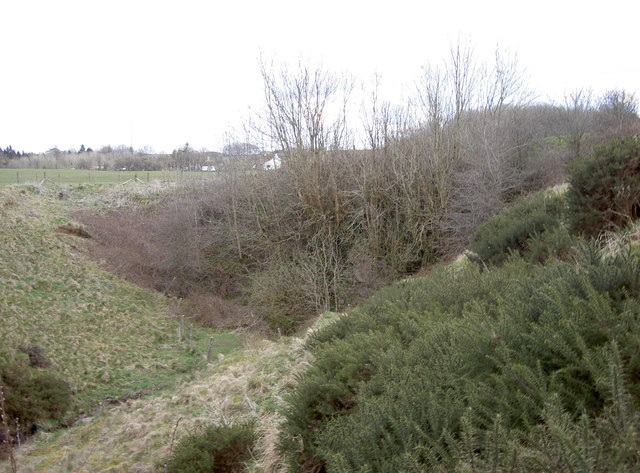
Image: © Neil Owen Taken: 13 Apr 2016
The porous Limestone landscape of the Mendips leads to many a stream and sudden drop into a swallow hole. This is the gorse-lined slopes Eastwater, with a near-vertical wall at its end; at the lowest point of which is the Eastwater Cavern - Image
Images are licensed for reuse under creativecommons.org/licenses/by-sa/2.0
Image Location
Latitude
51.252958
Longitude
-2.662661