East Water
Introduction
The photograph on this page of East Water by Neil Owen as part of the Geograph project.
The Geograph project started in 2005 with the aim of publishing, organising and preserving representative images for every square kilometre of Great Britain, Ireland and the Isle of Man.

There are currently over 7.5m images from over 14,400 individuals and you can help contribute to the project by visiting https://www.geograph.org.uk
East Water
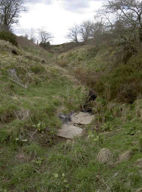
Image: © Neil Owen Taken: 13 Apr 2016
This little stream runs above ground for a relatively short distance before disappearing underground at Eastwater Cavern. Today the pile of old tyres and sheeting mark the actual place where it drops below ground level, although the recent heavy rains also leave evidence that it did get to the cave entrance.
Images are licensed for reuse under creativecommons.org/licenses/by-sa/2.0
Image Location
Latitude
51.252869
Longitude
-2.662517