Moorhouse Plantation
Introduction
The photograph on this page of Moorhouse Plantation by Derek Harper as part of the Geograph project.
The Geograph project started in 2005 with the aim of publishing, organising and preserving representative images for every square kilometre of Great Britain, Ireland and the Isle of Man.

There are currently over 7.5m images from over 14,400 individuals and you can help contribute to the project by visiting https://www.geograph.org.uk
Moorhouse Plantation
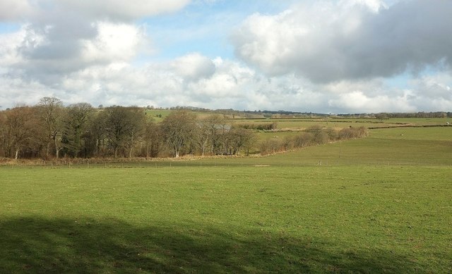
Image: © Derek Harper Taken: 10 Apr 2016
The plantation on the left can also be seen on the edge of Image, taken from the same spot two years before, as can the row of trees in the centre.
Images are licensed for reuse under creativecommons.org/licenses/by-sa/2.0
Image Location


Leaflet Map data © OpenStreetMap
Latitude
51.055294
Longitude
-3.421046