Y Tabernacl information board, Llwynhendy
Introduction
The photograph on this page of Y Tabernacl information board, Llwynhendy by Jaggery as part of the Geograph project.
The Geograph project started in 2005 with the aim of publishing, organising and preserving representative images for every square kilometre of Great Britain, Ireland and the Isle of Man.

There are currently over 7.5m images from over 14,400 individuals and you can help contribute to the project by visiting https://www.geograph.org.uk
Y Tabernacl information board, Llwynhendy
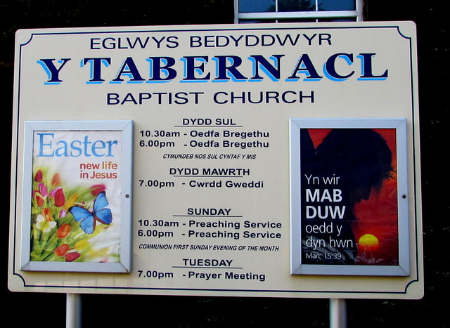
Image: © Jaggery Taken: 17 Mar 2016
Facing Llwynhendy Road outside this http://www.geograph.org.uk/photo/4906617 Baptist church.
Images are licensed for reuse under creativecommons.org/licenses/by-sa/2.0
Image Location
Latitude
51.678815
Longitude
-4.119156