Footbridge across Maglin Burn
Introduction
The photograph on this page of Footbridge across Maglin Burn by Graham Robson as part of the Geograph project.
The Geograph project started in 2005 with the aim of publishing, organising and preserving representative images for every square kilometre of Great Britain, Ireland and the Isle of Man.

There are currently over 7.5m images from over 14,400 individuals and you can help contribute to the project by visiting https://www.geograph.org.uk
Footbridge across Maglin Burn
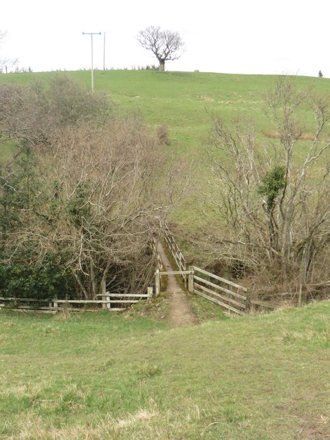
Image: © Graham Robson Taken: 9 Apr 2016
Looking down the steep sided stream valley to the footbridge which carries a footbridge across the Maglin Burn.
Images are licensed for reuse under creativecommons.org/licenses/by-sa/2.0
Image Location


Leaflet Map data © OpenStreetMap
Latitude
55.279529
Longitude
-1.830274