Low Worsall
Introduction
The photograph on this page of Low Worsall by Mick Garratt as part of the Geograph project.
The Geograph project started in 2005 with the aim of publishing, organising and preserving representative images for every square kilometre of Great Britain, Ireland and the Isle of Man.

There are currently over 7.5m images from over 14,400 individuals and you can help contribute to the project by visiting https://www.geograph.org.uk
Low Worsall
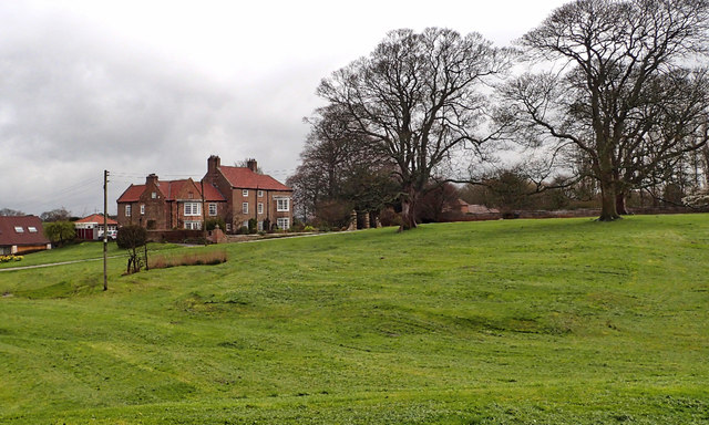
Image: © Mick Garratt Taken: 13 Apr 2016
On the banks of the Tees today. Low Worsall was at one time on the highest tidal stretch of the river. It had a quay where lead and copper was brought probably by packhorse trains from the Yorkshire Dales for shipment to Stockton and Newport. Salmon would have been caught by the villagers to supplement their diet. Of course nowadays with the Tees Barrage downstream in Middlesbrough the river is no longer tidal. It’s a pretty little village with Worsall Hall overlooking a wide village green that has lots of humps and bumps. No playing of cricket here. The hall dates from the 18th century and is rumoured to have a tunnel leading from its cellar to the river bank and used for smuggling. But it is these humps and bumps that has intrigued archaeologists who today started digging the green up.
Images are licensed for reuse under creativecommons.org/licenses/by-sa/2.0
Image Location
Latitude
54.484556
Longitude
-1.395838