Farm road, Windmill Hill Farm near Sandhill
Introduction
The photograph on this page of Farm road, Windmill Hill Farm near Sandhill by Andy Gryce as part of the Geograph project.
The Geograph project started in 2005 with the aim of publishing, organising and preserving representative images for every square kilometre of Great Britain, Ireland and the Isle of Man.

There are currently over 7.5m images from over 14,400 individuals and you can help contribute to the project by visiting https://www.geograph.org.uk
Farm road, Windmill Hill Farm near Sandhill
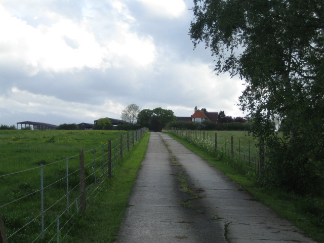
Image: © Andy Gryce Taken: 12 May 2007
This farm road heading south-east, which is off the C road between East Claydon and Padbury, leads to Windmill Hill Farm. There is no evidence of a windmill nearby on the modern or 1940s OS map, though the farm is close to the top of a hill of over 100m
Images are licensed for reuse under creativecommons.org/licenses/by-sa/2.0
Image Location
Latitude
51.943486
Longitude
-0.95119