The western end of Pantling's Lane
Introduction
The photograph on this page of The western end of Pantling's Lane by Richard Law as part of the Geograph project.
The Geograph project started in 2005 with the aim of publishing, organising and preserving representative images for every square kilometre of Great Britain, Ireland and the Isle of Man.

There are currently over 7.5m images from over 14,400 individuals and you can help contribute to the project by visiting https://www.geograph.org.uk
The western end of Pantling's Lane
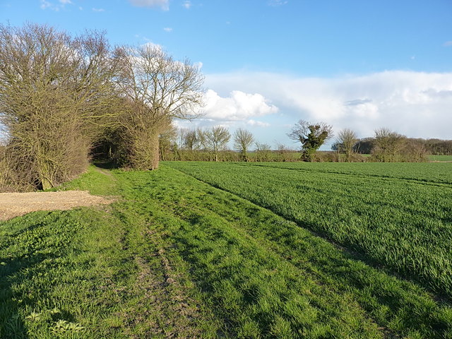
Image: © Richard Law Taken: 6 Apr 2016
A bridleway that runs east-west from the edge of the former Rivenhall Aerodrome to Monk's Farm and the B1024 Coggeshall-Kelvedon Road. It is pleasantly tree-lined for much of the length, but as a result is a little damp underfoot or underwheel in wet weather.
Images are licensed for reuse under creativecommons.org/licenses/by-sa/2.0
Image Location
Latitude
51.854801
Longitude
0.659459