Sion Hill Farm, East Claydon
Introduction
The photograph on this page of Sion Hill Farm, East Claydon by Andy Gryce as part of the Geograph project.
The Geograph project started in 2005 with the aim of publishing, organising and preserving representative images for every square kilometre of Great Britain, Ireland and the Isle of Man.

There are currently over 7.5m images from over 14,400 individuals and you can help contribute to the project by visiting https://www.geograph.org.uk
Sion Hill Farm, East Claydon
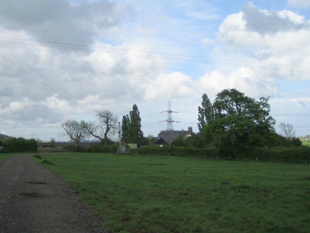
Image: © Andy Gryce Taken: 12 May 2007
Sion Hill Farm is at the end of a track off Church Way in East Claydon about 1km away. Sion Hill is the hill on which the parish church of East Claydon stands.
Images are licensed for reuse under creativecommons.org/licenses/by-sa/2.0
Image Location
Latitude
51.922016
Longitude
-0.913591