Partially collapsed wall, Farm Mill Lane, Witney, Oxon
Introduction
The photograph on this page of Partially collapsed wall, Farm Mill Lane, Witney, Oxon by P L Chadwick as part of the Geograph project.
The Geograph project started in 2005 with the aim of publishing, organising and preserving representative images for every square kilometre of Great Britain, Ireland and the Isle of Man.

There are currently over 7.5m images from over 14,400 individuals and you can help contribute to the project by visiting https://www.geograph.org.uk
Partially collapsed wall, Farm Mill Lane, Witney, Oxon
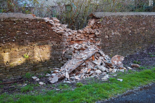
Image: © P L Chadwick Taken: 28 Mar 2016
Originally a dry stone wall, it looks as if some cement was added between a few of the bricks at some stage. The wall is probably quite old, the lane it adjoins having originally linked the town centre with a large mill and possibly earlier ones.
Images are licensed for reuse under creativecommons.org/licenses/by-sa/2.0
Image Location
Latitude
51.781309
Longitude
-1.48101