Junction of Storer Road and Havelock Street
Introduction
The photograph on this page of Junction of Storer Road and Havelock Street by Roger Templeman as part of the Geograph project.
The Geograph project started in 2005 with the aim of publishing, organising and preserving representative images for every square kilometre of Great Britain, Ireland and the Isle of Man.

There are currently over 7.5m images from over 14,400 individuals and you can help contribute to the project by visiting https://www.geograph.org.uk
Junction of Storer Road and Havelock Street
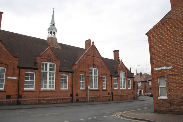
Image: © Roger Templeman Taken: 8 Apr 2016
There is an OS benchmark Image on the Storer Road face of the building (Rosebery Medical Centre) opposite Havelock Street, about 18m from the far corner of the building.
Images are licensed for reuse under creativecommons.org/licenses/by-sa/2.0
Image Location
Latitude
52.774216
Longitude
-1.220252