Royal Spring Inn, Lower Lydbrook
Introduction
The photograph on this page of Royal Spring Inn, Lower Lydbrook by Jaggery as part of the Geograph project.
The Geograph project started in 2005 with the aim of publishing, organising and preserving representative images for every square kilometre of Great Britain, Ireland and the Isle of Man.

There are currently over 7.5m images from over 14,400 individuals and you can help contribute to the project by visiting https://www.geograph.org.uk
Royal Spring Inn, Lower Lydbrook
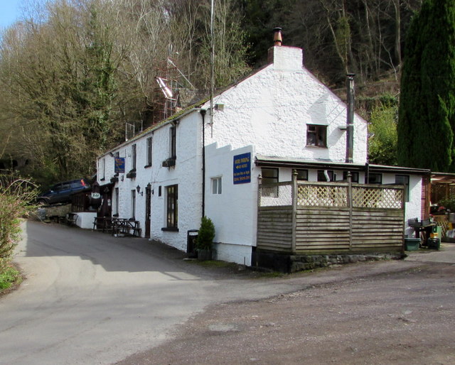
Image: © Jaggery Taken: 10 Apr 2016
Viewed across Vention Lane from near the corner of Coppice Road. http://www.geograph.org.uk/photo/4902557 to a closer view of the name sign on the left.
Images are licensed for reuse under creativecommons.org/licenses/by-sa/2.0
Image Location


Leaflet Map data © OpenStreetMap
Latitude
51.847844
Longitude
-2.575987