Windmill, Great Thurlow, Suffolk
Introduction
The photograph on this page of Windmill, Great Thurlow, Suffolk by mike as part of the Geograph project.
The Geograph project started in 2005 with the aim of publishing, organising and preserving representative images for every square kilometre of Great Britain, Ireland and the Isle of Man.

There are currently over 7.5m images from over 14,400 individuals and you can help contribute to the project by visiting https://www.geograph.org.uk
Windmill, Great Thurlow, Suffolk
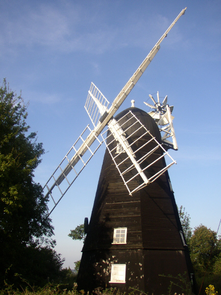
Image: © mike Taken: 2 Sep 2005
This Smock Mill (octagonal, wooden structure with sloping, weatherboarded sides) is on the road to Wethersfield above the village.
Images are licensed for reuse under creativecommons.org/licenses/by-sa/2.0
Image Location


Leaflet Map data © OpenStreetMap
Latitude
52.122158
Longitude
0.43941