Thorp Arch estate
Introduction
The photograph on this page of Thorp Arch estate by DS Pugh as part of the Geograph project.
The Geograph project started in 2005 with the aim of publishing, organising and preserving representative images for every square kilometre of Great Britain, Ireland and the Isle of Man.

There are currently over 7.5m images from over 14,400 individuals and you can help contribute to the project by visiting https://www.geograph.org.uk
Thorp Arch estate
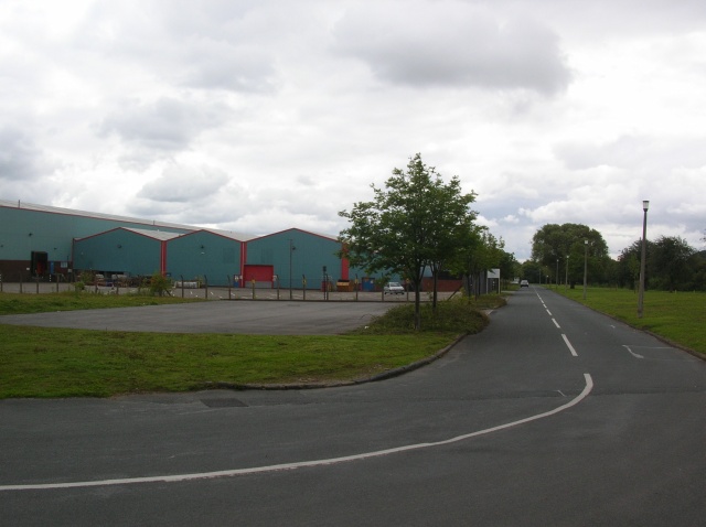
Image: © DS Pugh Taken: 7 Jul 2007
The Thorp Arch trading estate is built on a former Royal Ordnance Factory (ROF). This site produced munitions for WWII and the Korean war. Now this area is a trading estate housing a selection of industrial and commercial units.
Images are licensed for reuse under creativecommons.org/licenses/by-sa/2.0
Image Location
Latitude
53.905911
Longitude
-1.323086