Start of causeway to Sully Island, Swanbridge
Introduction
The photograph on this page of Start of causeway to Sully Island, Swanbridge by M J Roscoe as part of the Geograph project.
The Geograph project started in 2005 with the aim of publishing, organising and preserving representative images for every square kilometre of Great Britain, Ireland and the Isle of Man.

There are currently over 7.5m images from over 14,400 individuals and you can help contribute to the project by visiting https://www.geograph.org.uk
Start of causeway to Sully Island, Swanbridge
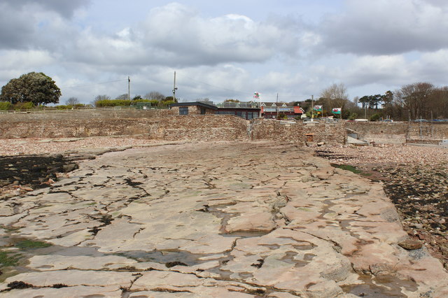
Image: © M J Roscoe Taken: 10 Apr 2016
The causeway is exposed at low tide; photograph taken on the ebbing tide about two and half hours to low water. The stone seawall appears recent.
Images are licensed for reuse under creativecommons.org/licenses/by-sa/2.0
Image Location
Latitude
51.400119
Longitude
-3.199112