Looking northwest along Archery Square
Introduction
The photograph on this page of Looking northwest along Archery Square by John Baker as part of the Geograph project.
The Geograph project started in 2005 with the aim of publishing, organising and preserving representative images for every square kilometre of Great Britain, Ireland and the Isle of Man.

There are currently over 7.5m images from over 14,400 individuals and you can help contribute to the project by visiting https://www.geograph.org.uk
Looking northwest along Archery Square
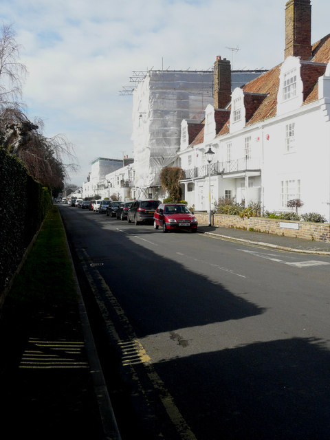
Image: © John Baker Taken: 20 Mar 2016
Most of two houses have been hidden by an erection of scaffolding and plastic sheeting. The nearer house is number 34. Planning permission has been granted by Dover District Council under application number DOV/15/00696 to “replace existing orangery roof light with roof lantern, installation of French doors to rear, relocation of existing soil vent pipe and associated internal and external alterations” and DOV/15/00697 to "remove existing orangery roof light and replace with roof lantern, installation of French doors to rear". The further house is number 18 and it is to be supposed that the reason for the scaffolding is that the house is undergoing a major refurbishment
Images are licensed for reuse under creativecommons.org/licenses/by-sa/2.0
Image Location
Latitude
51.209171
Longitude
1.401347