Stoke : St Nectan's Church
Introduction
The photograph on this page of Stoke : St Nectan's Church by Lewis Clarke as part of the Geograph project.
The Geograph project started in 2005 with the aim of publishing, organising and preserving representative images for every square kilometre of Great Britain, Ireland and the Isle of Man.

There are currently over 7.5m images from over 14,400 individuals and you can help contribute to the project by visiting https://www.geograph.org.uk
Stoke : St Nectan's Church
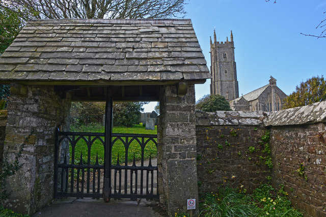
Image: © Lewis Clarke Taken: 5 Apr 2016
The lychgate is C16 or C17 wall with alterations of C18 and C19.
Images are licensed for reuse under creativecommons.org/licenses/by-sa/2.0
Image Location


Leaflet Map data © OpenStreetMap
Latitude
50.994398
Longitude
-4.515644