Farmland near Bonby Lodge
Introduction
The photograph on this page of Farmland near Bonby Lodge by Paul Harrop as part of the Geograph project.
The Geograph project started in 2005 with the aim of publishing, organising and preserving representative images for every square kilometre of Great Britain, Ireland and the Isle of Man.

There are currently over 7.5m images from over 14,400 individuals and you can help contribute to the project by visiting https://www.geograph.org.uk
Farmland near Bonby Lodge
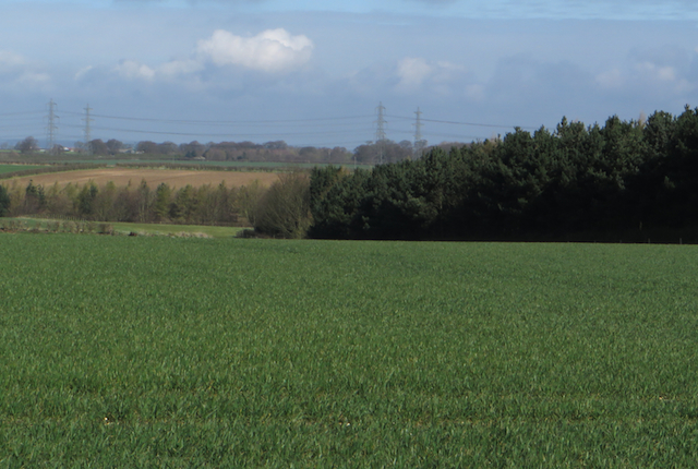
Image: © Paul Harrop Taken: 8 Apr 2016
Fields to the north of the B1206 just east of the A15 interchange. Beaumontcote Farm is behind the trees to the right.
Images are licensed for reuse under creativecommons.org/licenses/by-sa/2.0
Image Location


Leaflet Map data © OpenStreetMap
Latitude
53.642775
Longitude
-0.441324