Zebra crossing, Syr Dafydd Avenue, Oakdale
Introduction
The photograph on this page of Zebra crossing, Syr Dafydd Avenue, Oakdale by M J Roscoe as part of the Geograph project.
The Geograph project started in 2005 with the aim of publishing, organising and preserving representative images for every square kilometre of Great Britain, Ireland and the Isle of Man.

There are currently over 7.5m images from over 14,400 individuals and you can help contribute to the project by visiting https://www.geograph.org.uk
Zebra crossing, Syr Dafydd Avenue, Oakdale
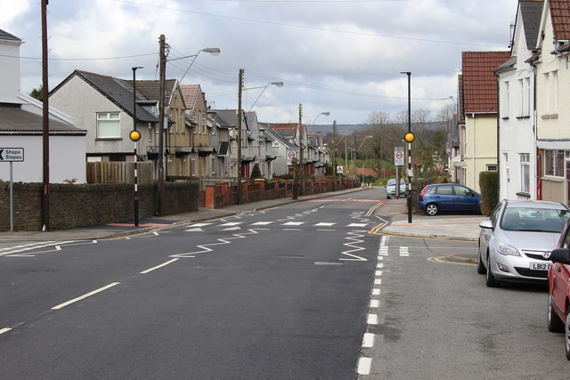
Image: © M J Roscoe Taken: 8 Apr 2016
New flat top hump with zebra crossing in new 20mph zone, completed early April 2016. This is part of a new Safe Routes Project near the two primary schools in Oakdale.
Images are licensed for reuse under creativecommons.org/licenses/by-sa/2.0
Image Location
Latitude
51.680806
Longitude
-3.176284