Haworth Road, Sandy Lane, Heaton, Bradford
Introduction
The photograph on this page of Haworth Road, Sandy Lane, Heaton, Bradford by Humphrey Bolton as part of the Geograph project.
The Geograph project started in 2005 with the aim of publishing, organising and preserving representative images for every square kilometre of Great Britain, Ireland and the Isle of Man.

There are currently over 7.5m images from over 14,400 individuals and you can help contribute to the project by visiting https://www.geograph.org.uk
Haworth Road, Sandy Lane, Heaton, Bradford
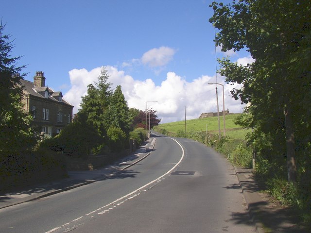
Image: © Humphrey Bolton Taken: 7 Jul 2007
This is looking up the hill towards Bradford, taken from a place named 'Swain Royd Lane Bottom' on the 6” map. Presumably Haworth Road used to be called Swain Royd Lane.
Images are licensed for reuse under creativecommons.org/licenses/by-sa/2.0
Image Location
Latitude
53.813866
Longitude
-1.831382