Stream south of Brindley Ford
Introduction
The photograph on this page of Stream south of Brindley Ford by Richard Dorrell as part of the Geograph project.
The Geograph project started in 2005 with the aim of publishing, organising and preserving representative images for every square kilometre of Great Britain, Ireland and the Isle of Man.

There are currently over 7.5m images from over 14,400 individuals and you can help contribute to the project by visiting https://www.geograph.org.uk
Stream south of Brindley Ford
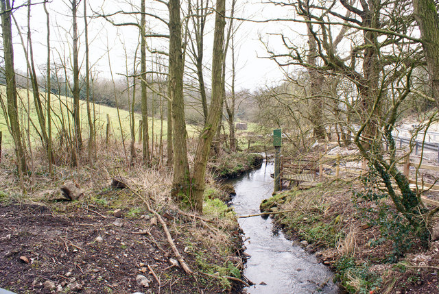
Image: © Richard Dorrell Taken: 8 Mar 2016
Ford Green Brook, viewed here from a bridge in Peck Mill Lane.
Images are licensed for reuse under creativecommons.org/licenses/by-sa/2.0
Image Location
Latitude
53.083895
Longitude
-2.178962