Transmission lines
Introduction
The photograph on this page of Transmission lines by Marion Phillips as part of the Geograph project.
The Geograph project started in 2005 with the aim of publishing, organising and preserving representative images for every square kilometre of Great Britain, Ireland and the Isle of Man.

There are currently over 7.5m images from over 14,400 individuals and you can help contribute to the project by visiting https://www.geograph.org.uk
Transmission lines
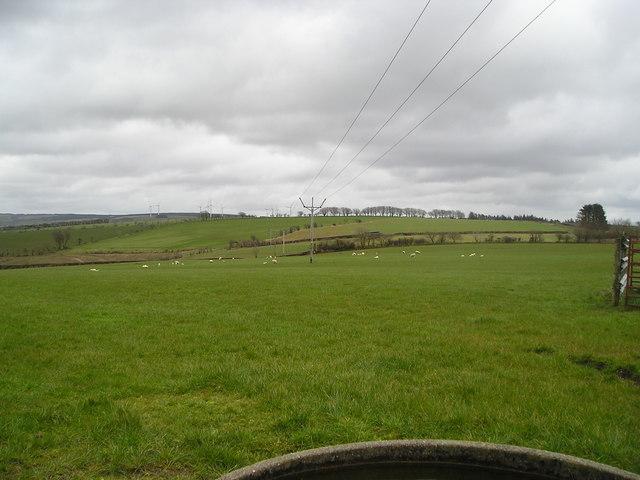
Image: © Marion Phillips Taken: 7 Apr 2016
These transmission lines were erected to link the Alltwalis Wind Farm, visible in the distance, to the national grid. The object in the foreground is the edge of a circular concrete cattle drinking trough.
Images are licensed for reuse under creativecommons.org/licenses/by-sa/2.0
Image Location


Leaflet Map data © OpenStreetMap
Latitude
51.975816
Longitude
-4.288221