Buildings and wind farm
Introduction
The photograph on this page of Buildings and wind farm by Marion Phillips as part of the Geograph project.
The Geograph project started in 2005 with the aim of publishing, organising and preserving representative images for every square kilometre of Great Britain, Ireland and the Isle of Man.

There are currently over 7.5m images from over 14,400 individuals and you can help contribute to the project by visiting https://www.geograph.org.uk
Buildings and wind farm
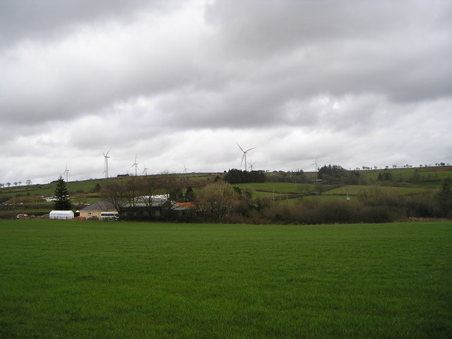
Image: © Marion Phillips Taken: 7 Apr 2016
There are ten wind turbines in the Alltwalis Wind Farm, so two must be in line from this viewpoint.
Images are licensed for reuse under creativecommons.org/licenses/by-sa/2.0
Image Location
Latitude
51.972891
Longitude
-4.258078