Common Water Lane near Providence Farm
Introduction
The photograph on this page of Common Water Lane near Providence Farm by Becky Williamson as part of the Geograph project.
The Geograph project started in 2005 with the aim of publishing, organising and preserving representative images for every square kilometre of Great Britain, Ireland and the Isle of Man.

There are currently over 7.5m images from over 14,400 individuals and you can help contribute to the project by visiting https://www.geograph.org.uk
Common Water Lane near Providence Farm
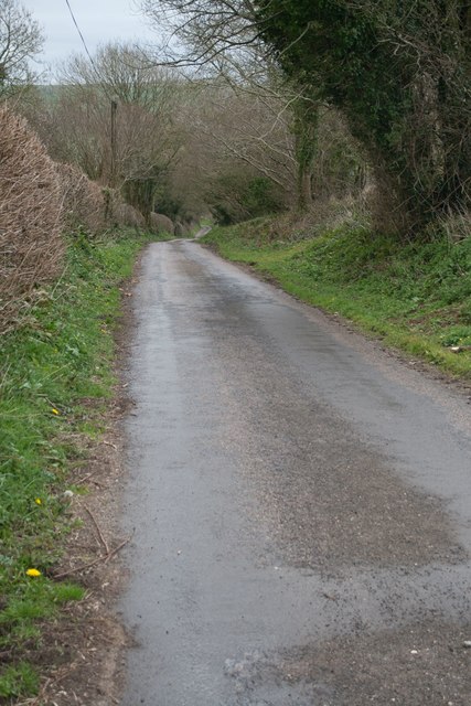
Image: © Becky Williamson Taken: 7 Apr 2016
The Monarch's Way follows Common Water Lane, a beautiful wooded lane, between Broadwindsor and the Beaminster Tunnel.
Images are licensed for reuse under creativecommons.org/licenses/by-sa/2.0
Image Location
Latitude
50.820977
Longitude
-2.791108