Former Free Kirk, Main Street, New Deer
Introduction
The photograph on this page of Former Free Kirk, Main Street, New Deer by Bill Harrison as part of the Geograph project.
The Geograph project started in 2005 with the aim of publishing, organising and preserving representative images for every square kilometre of Great Britain, Ireland and the Isle of Man.

There are currently over 7.5m images from over 14,400 individuals and you can help contribute to the project by visiting https://www.geograph.org.uk
Former Free Kirk, Main Street, New Deer
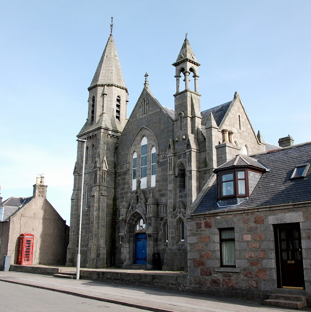
Image: © Bill Harrison Taken: 2 Apr 2016
Dating from ca. 1885 in the 'asymmetric planning' style advocated by the Camden Society (https://archive.org/details/fewwordstochurch00camb ) and perhaps inspired by Gilcomston Free Kirk in Aberdeen: http://www.geograph.org.uk/photo/3500405 . It is now a school/community hall. The K6 telephone box to the left looks derelict, although it has a somewhat hopeful 'e-mail, fax, phone' branding on it.
Images are licensed for reuse under creativecommons.org/licenses/by-sa/2.0
Image Location
Latitude
57.513394
Longitude
-2.193774