Former St Luke's Church, Doseley
Introduction
The photograph on this page of Former St Luke's Church, Doseley by Ian S as part of the Geograph project.
The Geograph project started in 2005 with the aim of publishing, organising and preserving representative images for every square kilometre of Great Britain, Ireland and the Isle of Man.

There are currently over 7.5m images from over 14,400 individuals and you can help contribute to the project by visiting https://www.geograph.org.uk
Former St Luke's Church, Doseley
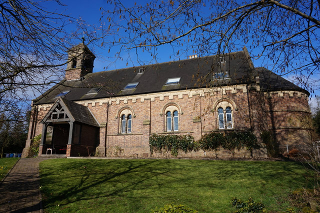
Image: © Ian S Taken: 31 Mar 2016
When I took this photograph I didn't known that I was on private property, there were no signs to say it was no longer an active church. It is now a private dwelling.
Images are licensed for reuse under creativecommons.org/licenses/by-sa/2.0
Image Location
Latitude
52.655799
Longitude
-2.478192