Babbacombe Road, near St Marychurch
Introduction
The photograph on this page of Babbacombe Road, near St Marychurch by Malc McDonald as part of the Geograph project.
The Geograph project started in 2005 with the aim of publishing, organising and preserving representative images for every square kilometre of Great Britain, Ireland and the Isle of Man.

There are currently over 7.5m images from over 14,400 individuals and you can help contribute to the project by visiting https://www.geograph.org.uk
Babbacombe Road, near St Marychurch
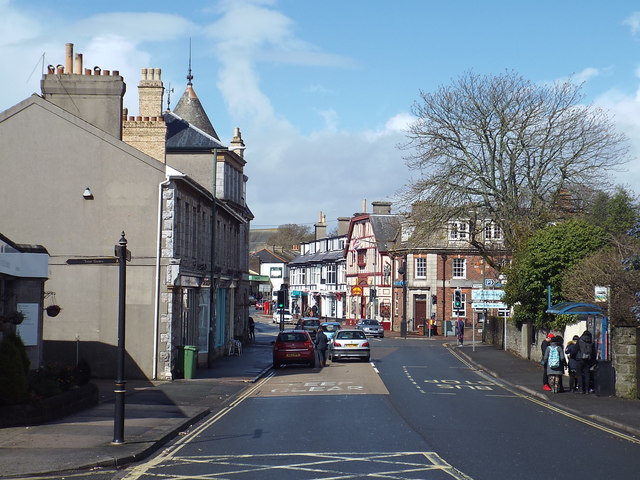
Image: © Malc McDonald Taken: 27 Mar 2016
Babbacombe Road, heading into St Marychurch on the outskirts of Torquay. This road forms part of the A379.
Images are licensed for reuse under creativecommons.org/licenses/by-sa/2.0
Image Location
Latitude
50.48081
Longitude
-3.52073