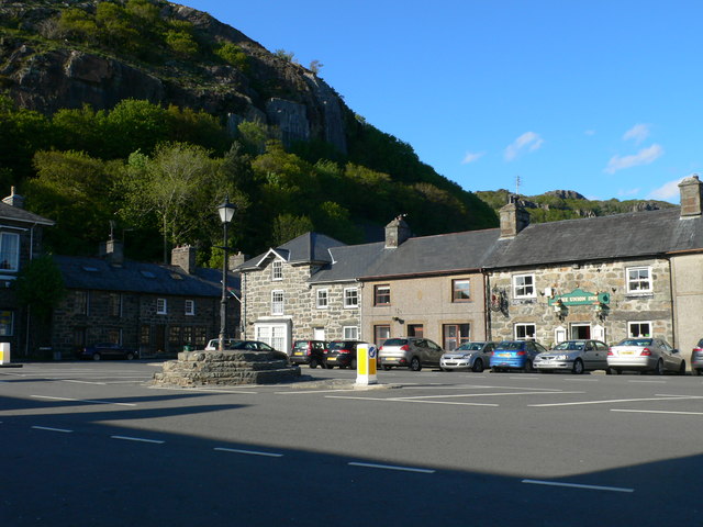
Y Sgwar, Tremadog
Introduction
The photograph on this page of Y Sgwar, Tremadog by Eirian Evans as part of the Geograph project.
The Geograph project started in 2005 with the aim of publishing, organising and preserving representative images for every square kilometre of Great Britain, Ireland and the Isle of Man.
There are currently over 7.5m images from over 14,400 individuals and you can help contribute to the project by visiting https://www.geograph.org.uk

Image: © Eirian Evans Taken: 12 May 2012
Tremadog, an exceptionally fine example of a planned town, was founded by William Alexander Madocks, who bought the land in 1798. At that time, the flat area surrounding the Glaslyn River was all salt marsh. Madocks was well aware of the possibilities of draining fenland, and set about building an embankment to separate the land from the sea. His first embankment built in 1800 won the area where Tremadog now stands. By 1805, the first cottages for workers were built in what he called "Pentre Gwaelod" or "Bottom Village". Within the year he had changed the name of the village to Tre Madoc or Madocks' Town. http://www.tremadog.org.uk/content/14.php

