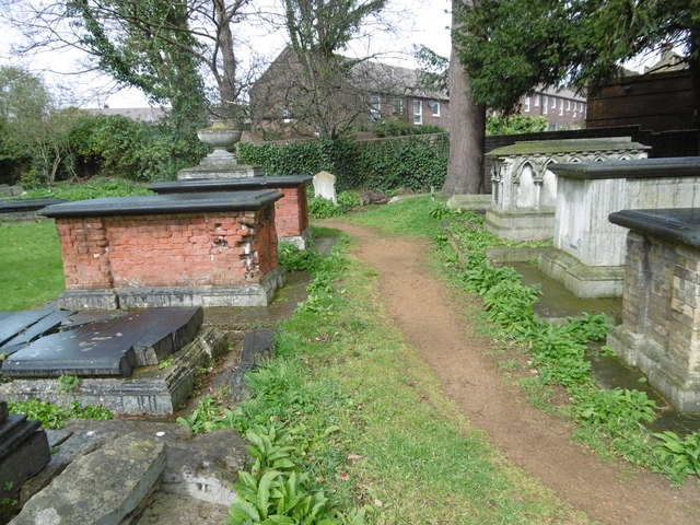
Path in St Leonard's Churchyard, Streatham
Introduction
The photograph on this page of Path in St Leonard's Churchyard, Streatham by Marathon as part of the Geograph project.
The Geograph project started in 2005 with the aim of publishing, organising and preserving representative images for every square kilometre of Great Britain, Ireland and the Isle of Man.
There are currently over 7.5m images from over 14,400 individuals and you can help contribute to the project by visiting https://www.geograph.org.uk

Image: © Marathon Taken: 6 Apr 2016
Streatham is an ancient parish which is mentioned in the Domesday Book which records that there was a chapel on the site of the present church. The lower part of the tower is the oldest section of the current building, having been constructed in the 14th century. Between 1830 and 1831, almost the entire church apart from the tower was rebuilt and the spire, which was struck by lightning in 1841, along with the top of the tower was rebuilt soon afterwards. The present stone chancel was constructed in 1863. The church was gutted by fire on 5th May 1975 and subsequently restored. The fine churchyard with busy roads on two sides has the look of the country churchyard it once was. There are several attractive tombs next to the path which passes right round the church. For a more detailed history of the church and the families connected to it see http://www.stleonard-streatham.org.uk/history.html

