Path next to the Civic Hall
Introduction
The photograph on this page of Path next to the Civic Hall by David Dixon as part of the Geograph project.
The Geograph project started in 2005 with the aim of publishing, organising and preserving representative images for every square kilometre of Great Britain, Ireland and the Isle of Man.

There are currently over 7.5m images from over 14,400 individuals and you can help contribute to the project by visiting https://www.geograph.org.uk
Path next to the Civic Hall
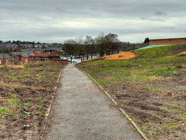
Image: © David Dixon Taken: 1 Apr 2016
The land next to Radcliffe's Civic Suite has been cleared of trees in preparation for the demolition of the hall and building of a 40 unit affordable housing development on the site which is scheduled to start sometime after July 2016 and be completed by 2018 (http://www.bury.gov.uk/CHttpHandler.ashx?id=17097&p=0 Radcliffe regeneration, Bury MBC).
Images are licensed for reuse under creativecommons.org/licenses/by-sa/2.0
Image Location
Latitude
53.560618
Longitude
-2.324389