Droitwich Water Tower from Tagwell Open Space
Introduction
The photograph on this page of Droitwich Water Tower from Tagwell Open Space by Jeff Gogarty as part of the Geograph project.
The Geograph project started in 2005 with the aim of publishing, organising and preserving representative images for every square kilometre of Great Britain, Ireland and the Isle of Man.

There are currently over 7.5m images from over 14,400 individuals and you can help contribute to the project by visiting https://www.geograph.org.uk
Droitwich Water Tower from Tagwell Open Space
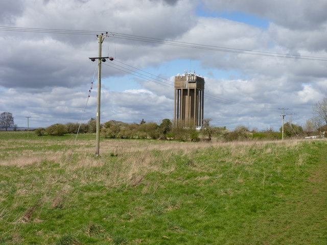
Image: © Jeff Gogarty Taken: 5 Apr 2016
This is soon to be built on as part of the proposed Yew Tree Village. http://www.barberry.co.uk/strategic-land/yew-tree-village-droitwich/
Images are licensed for reuse under creativecommons.org/licenses/by-sa/2.0
Image Location
Latitude
52.252308
Longitude
-2.143365