Houses above the A419 [London Road]
Introduction
The photograph on this page of Houses above the A419 [London Road] by Christine Johnstone as part of the Geograph project.
The Geograph project started in 2005 with the aim of publishing, organising and preserving representative images for every square kilometre of Great Britain, Ireland and the Isle of Man.

There are currently over 7.5m images from over 14,400 individuals and you can help contribute to the project by visiting https://www.geograph.org.uk
Houses above the A419 [London Road]
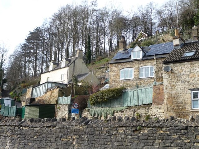
Image: © Christine Johnstone Taken: 28 Mar 2016
In the steep-side valley of the River Frome.
Images are licensed for reuse under creativecommons.org/licenses/by-sa/2.0
Image Location
Latitude
51.719128
Longitude
-2.165989