Field at Brandis Corner
Introduction
The photograph on this page of Field at Brandis Corner by Derek Harper as part of the Geograph project.
The Geograph project started in 2005 with the aim of publishing, organising and preserving representative images for every square kilometre of Great Britain, Ireland and the Isle of Man.

There are currently over 7.5m images from over 14,400 individuals and you can help contribute to the project by visiting https://www.geograph.org.uk
Field at Brandis Corner
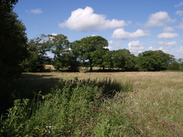
Image: © Derek Harper Taken: 7 Jul 2007
A tree-lined field boundary along the north side of this field, seen from beside the lane to Holemoor.
Images are licensed for reuse under creativecommons.org/licenses/by-sa/2.0
Image Location
Latitude
50.814704
Longitude
-4.255825