OS benchmark - Lightmoor, culvert below Crackshall Lane
Introduction
The photograph on this page of OS benchmark - Lightmoor, culvert below Crackshall Lane by Richard Law as part of the Geograph project.
The Geograph project started in 2005 with the aim of publishing, organising and preserving representative images for every square kilometre of Great Britain, Ireland and the Isle of Man.

There are currently over 7.5m images from over 14,400 individuals and you can help contribute to the project by visiting https://www.geograph.org.uk
OS benchmark - Lightmoor, culvert below Crackshall Lane
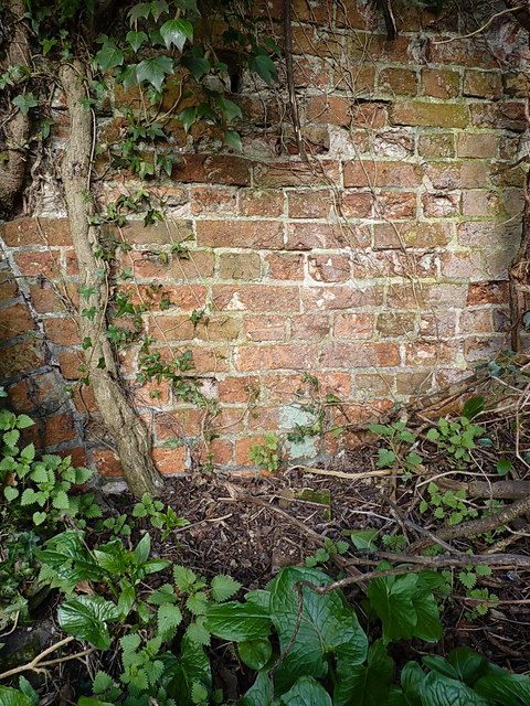
Image: © Richard Law Taken: 27 Mar 2016
Barely visible just left of the lightest patch of bricks in this picture, 5th course up from the ground, there is an OS cutmark that was originally levelled at 139.321m above Ordnance Datum Newlyn. The brickwork is that of a bridge which allowed a small canal to run under Crackshall Lane.
Images are licensed for reuse under creativecommons.org/licenses/by-sa/2.0
Image Location
Latitude
52.644935
Longitude
-2.488241