Lane to West Trevillis
Introduction
The photograph on this page of Lane to West Trevillis by Derek Harper as part of the Geograph project.
The Geograph project started in 2005 with the aim of publishing, organising and preserving representative images for every square kilometre of Great Britain, Ireland and the Isle of Man.

There are currently over 7.5m images from over 14,400 individuals and you can help contribute to the project by visiting https://www.geograph.org.uk
Lane to West Trevillis
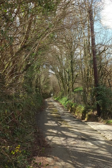
Image: © Derek Harper Taken: 31 Mar 2016
From the same point as Image Whereas Image] looks down the lane from this spot, this looks up it.
Images are licensed for reuse under creativecommons.org/licenses/by-sa/2.0
Image Location


Leaflet Map data © OpenStreetMap
Latitude
50.432321
Longitude
-4.553593