Road near Penhole
Introduction
The photograph on this page of Road near Penhole by Derek Harper as part of the Geograph project.
The Geograph project started in 2005 with the aim of publishing, organising and preserving representative images for every square kilometre of Great Britain, Ireland and the Isle of Man.

There are currently over 7.5m images from over 14,400 individuals and you can help contribute to the project by visiting https://www.geograph.org.uk
Road near Penhole
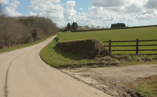
Image: © Derek Harper Taken: 31 Mar 2016
The road shown in Image] reaches the bottom of a slope and swings around between woodland and farmland. The farm buildings behind the trees ahead are at Penhole.
Images are licensed for reuse under creativecommons.org/licenses/by-sa/2.0
Image Location


Leaflet Map data © OpenStreetMap
Latitude
50.429263
Longitude
-4.56582