Combined footpath and cycleway, Hatherley, Cheltenham
Introduction
The photograph on this page of Combined footpath and cycleway, Hatherley, Cheltenham by Jaggery as part of the Geograph project.
The Geograph project started in 2005 with the aim of publishing, organising and preserving representative images for every square kilometre of Great Britain, Ireland and the Isle of Man.

There are currently over 7.5m images from over 14,400 individuals and you can help contribute to the project by visiting https://www.geograph.org.uk
Combined footpath and cycleway, Hatherley, Cheltenham
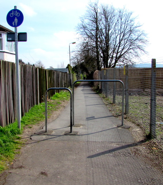
Image: © Jaggery Taken: 3 Apr 2016
Metal barriers prevent vehicular misuse of the path on the SE side of Hatherley Road. The fence on the right is at the edge of this http://www.geograph.org.uk/photo/4892182 electricity substation.
Images are licensed for reuse under creativecommons.org/licenses/by-sa/2.0
Image Location
Latitude
51.888578
Longitude
-2.116484