Windmilland Cross
Introduction
The photograph on this page of Windmilland Cross by Derek Harper as part of the Geograph project.
The Geograph project started in 2005 with the aim of publishing, organising and preserving representative images for every square kilometre of Great Britain, Ireland and the Isle of Man.

There are currently over 7.5m images from over 14,400 individuals and you can help contribute to the project by visiting https://www.geograph.org.uk
Windmilland Cross
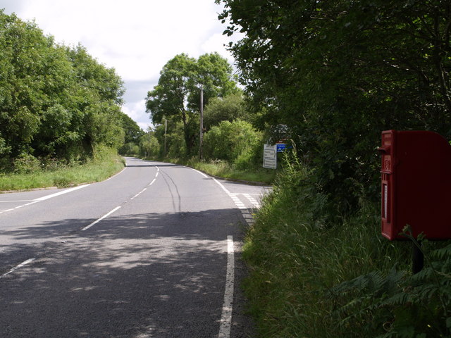
Image: © Derek Harper Taken: 7 Jul 2007
Looking along the A3072, the Holsworthy-Hatherleigh road. The turn to the left is for Black Torrington. On the right is a no through road which becomes Black Torrington Footpath 8.
Images are licensed for reuse under creativecommons.org/licenses/by-sa/2.0
Image Location
Latitude
50.814694
Longitude
-4.175898