Horsell Village Hall
Introduction
The photograph on this page of Horsell Village Hall by Alan Hunt as part of the Geograph project.
The Geograph project started in 2005 with the aim of publishing, organising and preserving representative images for every square kilometre of Great Britain, Ireland and the Isle of Man.

There are currently over 7.5m images from over 14,400 individuals and you can help contribute to the project by visiting https://www.geograph.org.uk
Horsell Village Hall
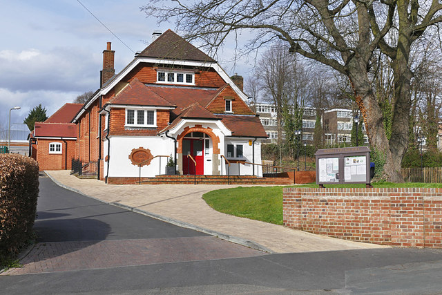
Image: © Alan Hunt Taken: 30 Mar 2016
The Parish Hall off the High Street, dating from the Edwardian era. The flats on Pares Close can be seen in the background.
Images are licensed for reuse under creativecommons.org/licenses/by-sa/2.0
Image Location
Latitude
51.323826
Longitude
-0.572292