A68 heading north from Troughend
Introduction
The photograph on this page of A68 heading north from Troughend by Trevor Littlewood as part of the Geograph project.
The Geograph project started in 2005 with the aim of publishing, organising and preserving representative images for every square kilometre of Great Britain, Ireland and the Isle of Man.

There are currently over 7.5m images from over 14,400 individuals and you can help contribute to the project by visiting https://www.geograph.org.uk
A68 heading north from Troughend
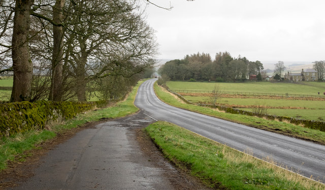
Image: © Trevor Littlewood Taken: 2 Apr 2016
Troughend is a farm close to the A68; the road has clearly been realigned and now sweeps past the farm in a more smooth curve than previously. The image was recorded from the original line of the road which is now signed as a parking area.
Images are licensed for reuse under creativecommons.org/licenses/by-sa/2.0
Image Location


Leaflet Map data © OpenStreetMap
Latitude
55.227436
Longitude
-2.211108