The Templepatrick Road, Lindsay's Corner near Doagh (April 2016)
Introduction
The photograph on this page of The Templepatrick Road, Lindsay's Corner near Doagh (April 2016) by Albert Bridge as part of the Geograph project.
The Geograph project started in 2005 with the aim of publishing, organising and preserving representative images for every square kilometre of Great Britain, Ireland and the Isle of Man.

There are currently over 7.5m images from over 14,400 individuals and you can help contribute to the project by visiting https://www.geograph.org.uk
The Templepatrick Road, Lindsay's Corner near Doagh (April 2016)
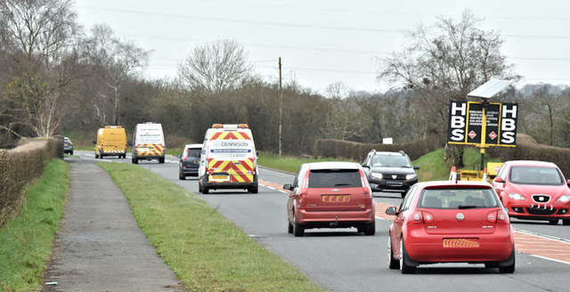
Image: © Albert Bridge Taken: 2 Apr 2016
The busy Templepatrick Road on the Templepatrick side of Lindsay’s Corner roundabout. The road is part of a route, between the Ballynure bypass Image and Templepatrick roundabout Image, connecting Larne to Belfast International (Aldergrove) Airport, Nutt’s Corner, Craigavon and the west.
Images are licensed for reuse under creativecommons.org/licenses/by-sa/2.0
Image Location
Latitude
54.728056
Longitude
-6.038292