Path near Meliden
Introduction
The photograph on this page of Path near Meliden by Eirian Evans as part of the Geograph project.
The Geograph project started in 2005 with the aim of publishing, organising and preserving representative images for every square kilometre of Great Britain, Ireland and the Isle of Man.

There are currently over 7.5m images from over 14,400 individuals and you can help contribute to the project by visiting https://www.geograph.org.uk
Path near Meliden
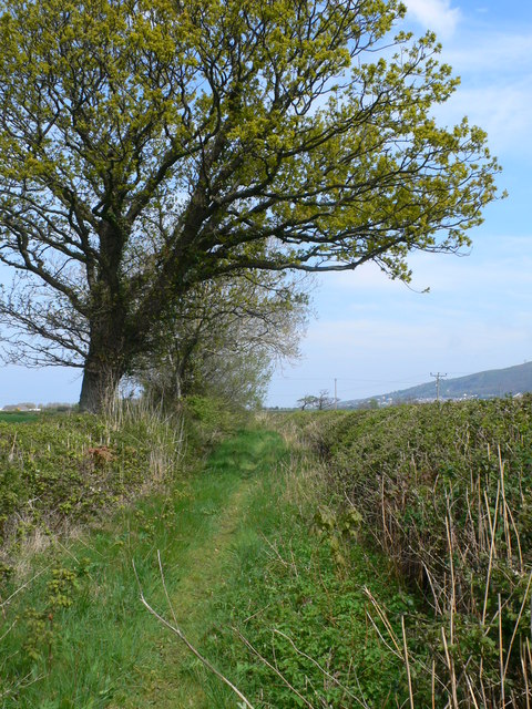
Image: © Eirian Evans Taken: 2 May 2012
The track leaves the B5119 and heads firstly to the east then a right turn at Four Winds Farm to reach another minor road.
Images are licensed for reuse under creativecommons.org/licenses/by-sa/2.0
Image Location
Latitude
53.314121
Longitude
-3.436567