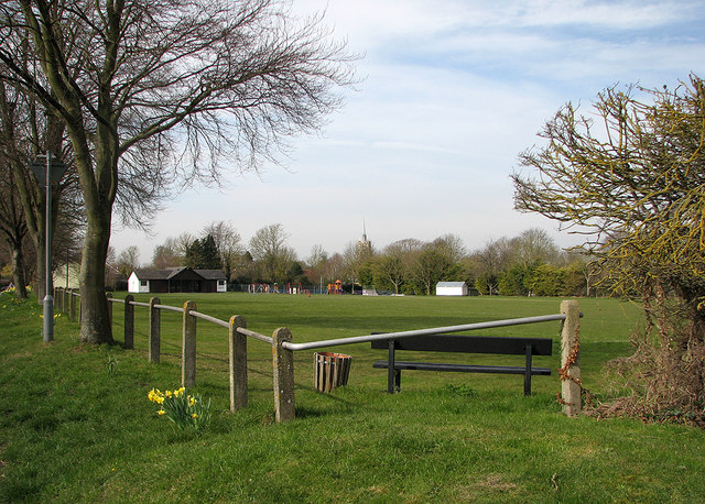
Ashwell Cricket Ground
Introduction
The photograph on this page of Ashwell Cricket Ground by John Sutton as part of the Geograph project.
The Geograph project started in 2005 with the aim of publishing, organising and preserving representative images for every square kilometre of Great Britain, Ireland and the Isle of Man.
There are currently over 7.5m images from over 14,400 individuals and you can help contribute to the project by visiting https://www.geograph.org.uk

Image: © John Sutton Taken: 1 Apr 2016
I captained an epic win for the visiting team on this delightful ground once. The stupendous match-winning catch was made by a team mate - but I had the satisfaction of having put him in exactly the right place only moments before. The next time we came we lost in the rain. The view is from the corner of the ground next to the war memorial, with the pavilion at the other end and St Mary's Church tower showing above the trees.

