Farmland near Landazzard
Introduction
The photograph on this page of Farmland near Landazzard by Derek Harper as part of the Geograph project.
The Geograph project started in 2005 with the aim of publishing, organising and preserving representative images for every square kilometre of Great Britain, Ireland and the Isle of Man.

There are currently over 7.5m images from over 14,400 individuals and you can help contribute to the project by visiting https://www.geograph.org.uk
Farmland near Landazzard
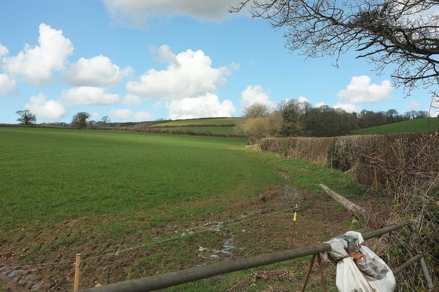
Image: © Derek Harper Taken: 31 Mar 2016
From the gate shown in Image The hedge on the right follows a small trickle of a stream up a side valley towards the farms at Tuelmanna.
Images are licensed for reuse under creativecommons.org/licenses/by-sa/2.0
Image Location
Latitude
50.45984
Longitude
-4.499982