Lane junction near Landazzard
Introduction
The photograph on this page of Lane junction near Landazzard by Derek Harper as part of the Geograph project.
The Geograph project started in 2005 with the aim of publishing, organising and preserving representative images for every square kilometre of Great Britain, Ireland and the Isle of Man.

There are currently over 7.5m images from over 14,400 individuals and you can help contribute to the project by visiting https://www.geograph.org.uk
Lane junction near Landazzard
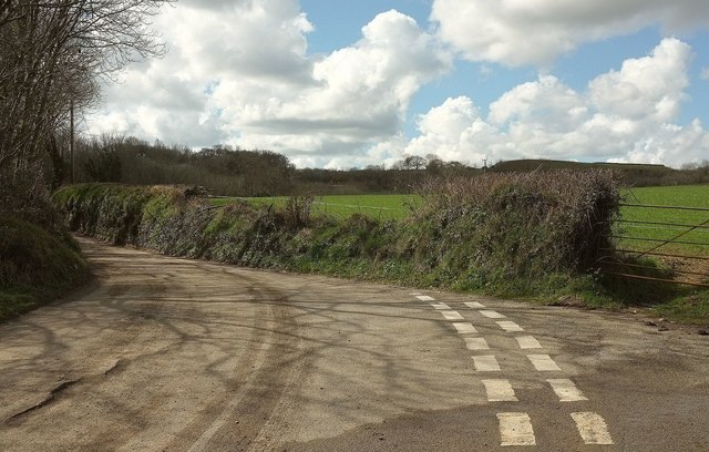
Image: © Derek Harper Taken: 31 Mar 2016
The lane gives access, in a complicated fashion, to the A30, and consequently has a few vehicles haring along it. The junction is with the lane shown in Image
Images are licensed for reuse under creativecommons.org/licenses/by-sa/2.0
Image Location
Latitude
50.459496
Longitude
-4.499259