Fire-damaged building, Treharris
Introduction
The photograph on this page of Fire-damaged building, Treharris by Jaggery as part of the Geograph project.
The Geograph project started in 2005 with the aim of publishing, organising and preserving representative images for every square kilometre of Great Britain, Ireland and the Isle of Man.

There are currently over 7.5m images from over 14,400 individuals and you can help contribute to the project by visiting https://www.geograph.org.uk
Fire-damaged building, Treharris
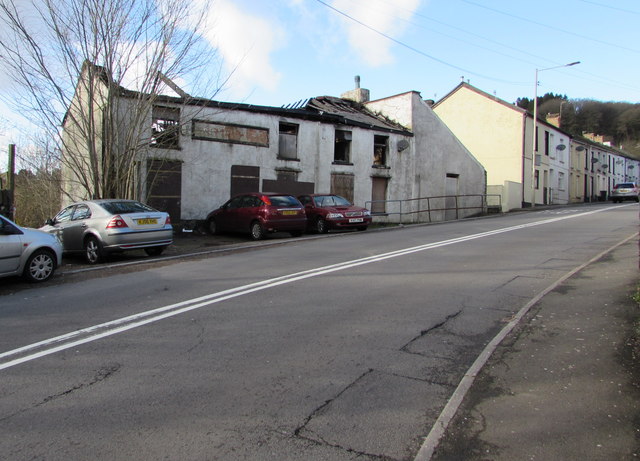
Image: © Jaggery Taken: 30 Jan 2016
Viewed across the A4054 from the corner of Windsor Place in late January 2016. An August 2011 Google Earth Street View shows the building derelict, with its roof intact. http://www.geograph.org.uk/photo/4889763 to another view.
Images are licensed for reuse under creativecommons.org/licenses/by-sa/2.0
Image Location
Latitude
51.662927
Longitude
-3.310719